Comprehensive Willow Creek Watershed Planning Project
Willow Creek Inventory
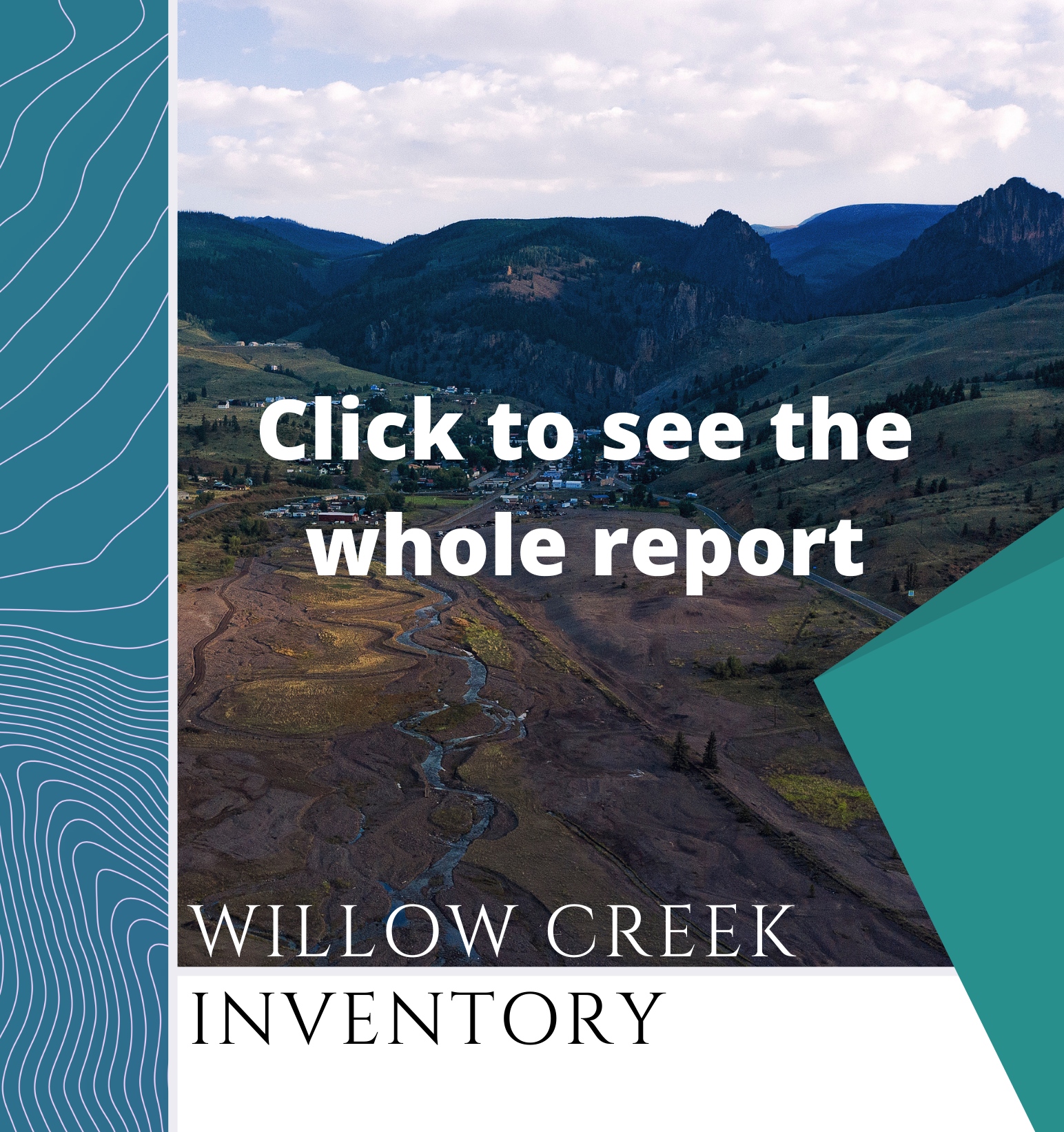
The Willow Creek Inventory is a list of all the available reports, maps, and documents created by the various interested entities over the past 25 plus years.
The Willow Creek Inventory is a list of all the available reports, maps, and documents created by the various interested entities over the past 25 plus years, with special recognition going to the Willow Creek Reclamation Committee!
The Inventory intends to enable the following outcomes:
Make existing research and analysis available and easy to find.
Facilitate informed decision-making without having to recreate reports, maps, strategies, etc.
Identify gaps in the body of work, including identifying and prioritizing future needs.
Promote holistic thinking, collaboration, and long-term solutions.
What can you find in the Willow Creek Inventory?
Willow Creek Library |
This is an online list with access to all the full text reports, data and maps included in the Inventory. Find more here. |
Mining in Creede: A History Worth Digging Into |
Like millions of years ago! |
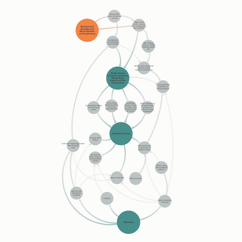
Nelson Tunnel Systems Map |
This systems map attempts to capture the complexity of the Nelson Tunnel/Commodore Waste Rock Superfund site. View more here. |
Watershed Challenges by System |
This view paints the broadest picture, identifying the central environmental features and variables in relationship to associated risks and generally accepted mitigation strategies. A careful reading underscores the inter-relationality of each component within the natural environment and the potential for anthropogenic actions to heal or harm. Mitigation planning at this level is focused on three strategies: (1) community environmental and stewardship education; (2) on-going and increased partnering with regional and state entities to effect shared goals; and (3) increased focus on climate change as it intersects with all other challenges. Learn more. |
Watershed Challenges by Scale and Reach |
This view prioritizes site specific challenges by geographic reach and scale — that is probability and impact. While prioritization hones in on the most immediate and/or singular challenges, it encompasses the breadth of environmental features and variables outlined in Watershed Challenges by System. Mitigation planning at this level becomes more granular to the specific challenge, although themes of education, partnership and climate change persist. Learn more. |
Key Questions for Priority Challenges |
Given the unavoidable reality of a changing climate, the domino effect of potentially varied but predicted impacts, and the uncomfortable nature that the scale and complexity of watershed issues generate, HWA felt it imperative to include a framework for thinking about these larger issues as the first step in mitigation planning for climate change. Taking inspiration from the CWCB River Network, Goals and Associated Approaches for Stream Management Plans, HWA created a similar rubric of questions focused on the Willow Creek Watershed, intended to catalyze the necessary conversations that lead to holistic, comprehensive solutions. |
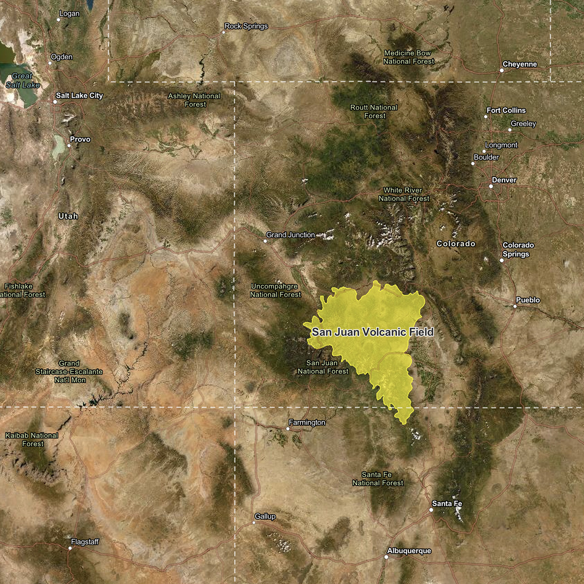
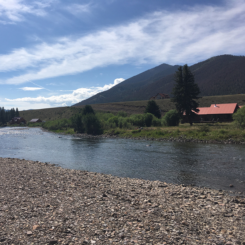
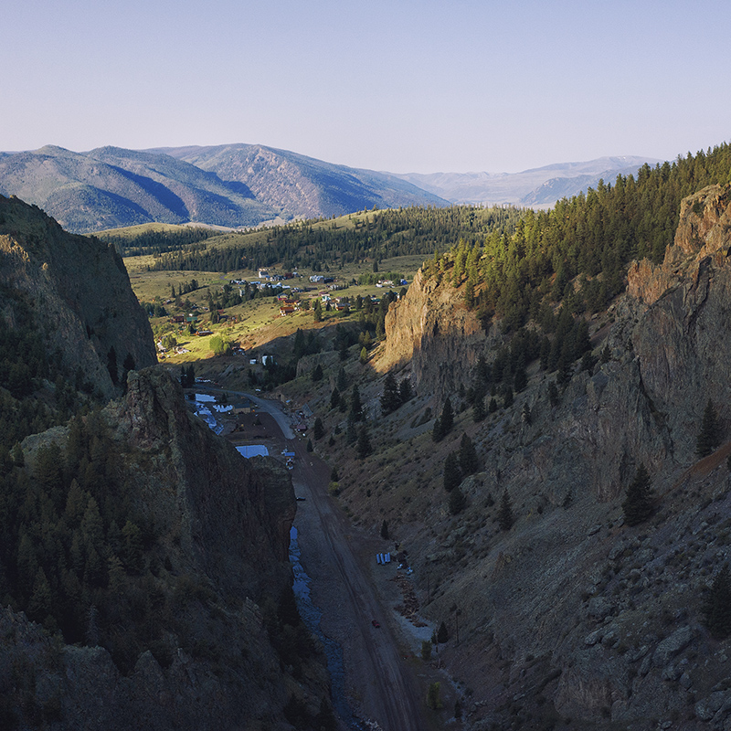
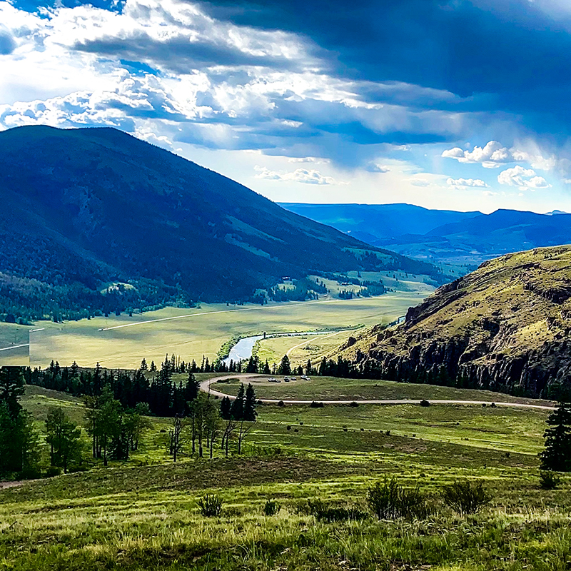
Maps are Fun! While this is not an exhaustive list of all the maps of Willow Creek, the following maps offer an interesting visual perspective of the various ways that the Willow Creek Watershed has been considered, studied and evaluated. Enjoy.


Can’t find what you are looking for?
Please email coordinator@headwatersalliance.com
for more support or access to our Zotero file of documents.
Please email coordinator@headwatersalliance.com
for more support or access to our Zotero file of documents.